This is part three of three from a single journey: ten days and 1,645 kilometres from Las Vegas through Nevada, Utah and Arizona and back, between the end of December and the first week of January. Part one covers Las Vegas, the Valley of Fire and Zion; part two Page, Antelope Canyon and Monument Valley on horseback; part three the Grand Canyon in winter and Route 66 down to Oatman.
From Bluff we drove south-west towards the Grand Canyon, a little over three hundred kilometres through the Navajo Nation, and it is one of those days where the map lies: the distance looks ordinary and the drive is anything but.

The South Rim, and why it is the only choice in winter
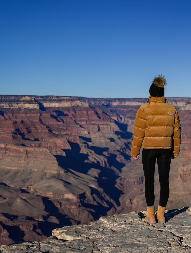
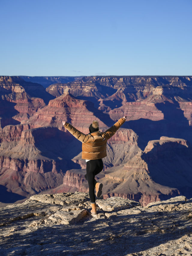
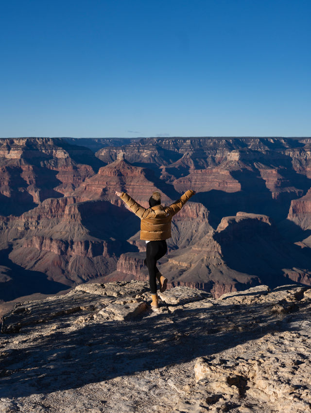
The Grand Canyon has two rims and in winter the decision is made for you: the North Rim closes for the season, so the South Rim is where you go. We came in from the east, through the Desert View entrance, which is the right way to arrive — the canyon appears gradually as you drive the rim road instead of all at once from a car park.

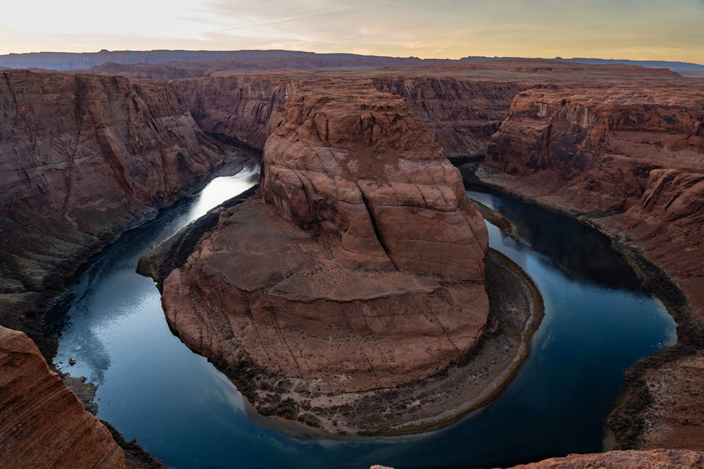
Desert View has its watchtower, and from there the viewpoints follow one after another to Mather Point. In January the air is cold and completely clear, the rim has snow on it in places, and the low sun does something to the rock that midsummer light never manages: the layers separate, and you can read the canyon like a section drawing.


One correction we made while planning, and it is worth repeating because it catches people out: Bright Angel Point is on the North Rim, not the South. If you have read about it and you are coming in winter, you are reading about a place you cannot get to.

We stayed at Tusayan, ten minutes from the South Entrance, which meant we could be at the rim for sunset without hurrying and go back out after dark. That is the underrated part of a winter night here: no moon, no light, and a sky over the canyon that is worth putting a coat on for.
Route 66: the day that is not a transfer
The following morning we turned west onto Route 66, and this is the day I would tell anyone not to treat as the drive home. It is around four hundred kilometres from Tusayan to Kingman with the detours, and every one of them is the point.

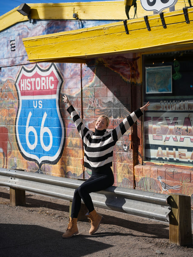
Williams first, the last town on Route 66 to be bypassed by the interstate and still built like a film set. Then Seligman, which is where the road stops being history and becomes a mood: vintage cars parked in the street, hand-painted signs, barber shops, ice cream, and a general commitment to the nineteen-fifties that is somewhere between museum and joke.


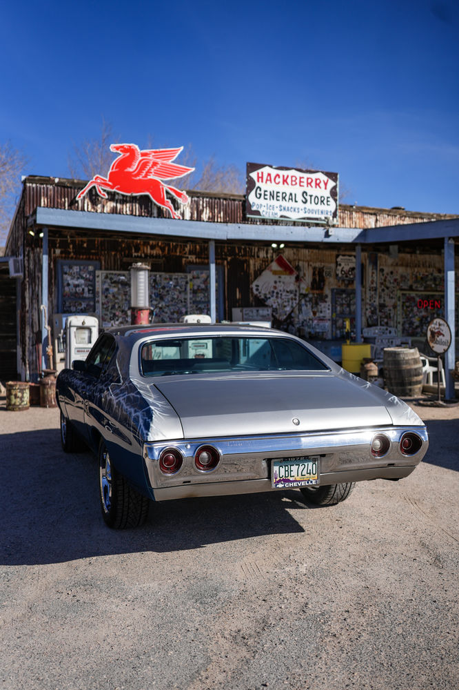
Hackberry General Store is the photograph everyone has seen without knowing where it is: a petrol station frozen mid-century, a red Corvette outside, rusted pumps, number plates nailed to the walls. It genuinely is worth stopping for, and it takes fifteen minutes.


Lunch at Mr D'z, Kingman
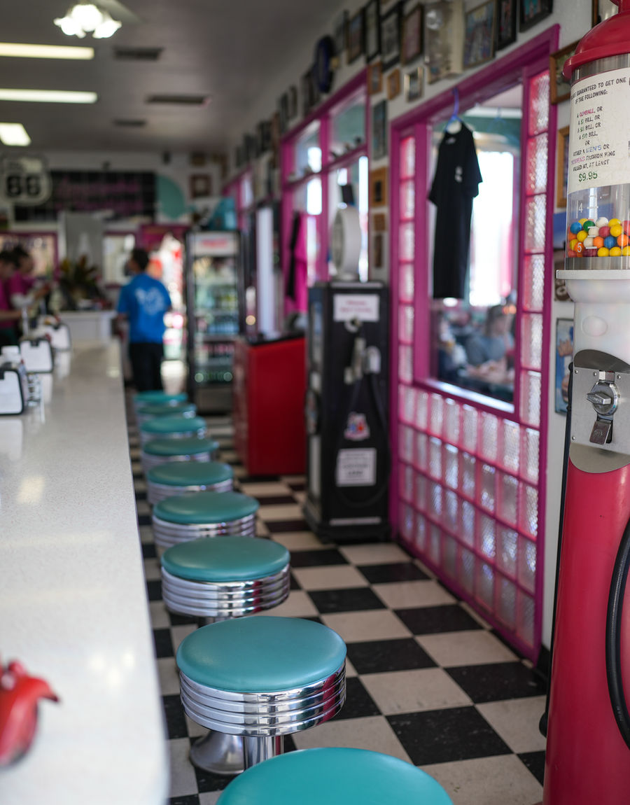
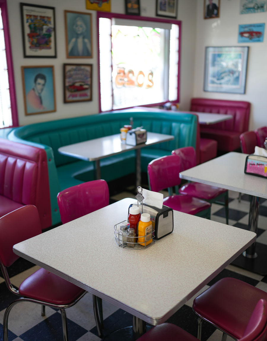
In Kingman, on the old road, there is a turquoise and pink diner that you cannot miss and should not: Mr D'z. We stopped for lunch and had the whole classic — the booth, the chrome, the root beer they make themselves, a burger the size of a decision.

It is touristy and it does not matter. This is exactly the meal the road is for, and eating it in a fifties diner on Route 66 with the car outside is the whole reason you drove this way instead of taking the interstate.
Oatman: donkeys, gunfights and a gold mine
The last detour is the best one. Oatman sits up in the Black Mountains, reached by a narrow twisting road that is genuinely fun to drive, and it is an old gold-mining town that never quite finished being one.

The donkeys are the first thing you see. They are descendants of the animals the miners left behind when the mines closed, they wander the main street as though they own it, and they stop traffic without apologising. You can buy feed in the shops; they will find you either way.
Then there is the rest: wooden boardwalks, saloons, a staged gunfight performed by actors in the street, and the old mine workings above the town. It should feel like a theme park and somehow does not — perhaps because the buildings are real, the dust is real, and the donkeys are extremely real.


Red Rock Canyon, and back to where we started
The last morning we drove from Kingman towards Las Vegas and stopped at Red Rock Canyon, twenty minutes from the Strip: a one-way scenic loop of about twenty kilometres with the Wilson Cliffs on one side and the desert on the other. It is a good closing chapter — the same red sandstone the trip opened with at the Valley of Fire, ten days and 1,645 kilometres later.
Then the car went back, we went to the airport, and that was the loop closed. Of everything in those ten days, the two things I would do again tomorrow are the walk to Observation Point and the hour and a half on horseback in Monument Valley — and neither of them is the thing we planned the trip around.
In short
- Bluff → Grand Canyon South Rim, staying at Tusayan: about 310 km
- Tusayan → Williams → Seligman → Hackberry → Oatman → Kingman: about 390 km
- Kingman → Red Rock Canyon → Las Vegas: about 220 km
- The North Rim is closed in winter; come in from Desert View, on the east side
- Bright Angel Point is on the North Rim — do not plan it from the south
- Mr D'z in Kingman for lunch, Hackberry General Store for fifteen minutes and a hundred photographs
- Oatman: donkeys on the main street, a staged gunfight, and a twisting mountain road to get there
The other two parts: Las Vegas, the Valley of Fire and Zion; then Page, Antelope Canyon and Monument Valley on horseback. The practical guide — route, car, bookings and season — is a separate piece.